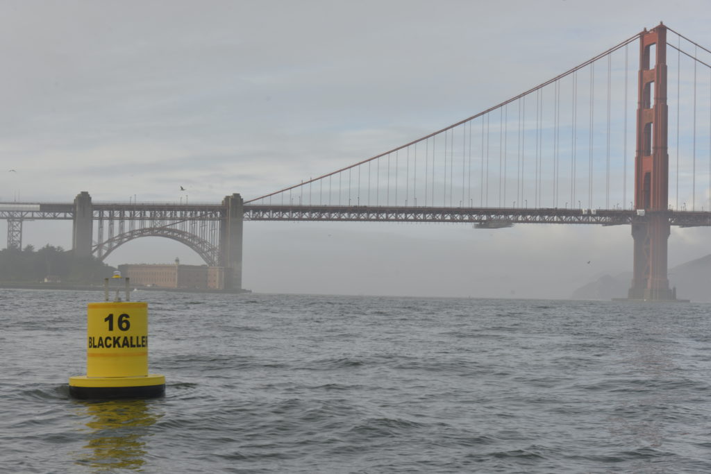
Below are the descriptions of marks and obstructions for YRA races. Also included are the APPROXIMATE GPS coordinates for the permanent marks. These GPS coordinates are provided as a reference; the YRA makes no guarantee as to the accuracy of these GPS coordinates. We encourage you to sail by each mark and enter in your GPS to ensure accuracy. Also below are links to chartlets of each area of the bay and ocean. These chartlets are for reference and should not be used for navigation.
Four of the YRA racing marks are named for well-known sailors, each of whom made major contributions to the sport of sailboat racing on San Francisco Bay. They are Blackaller (YRA #16), Easom (YRA #15), Perkins (YRA #6), and Tosse (YRA XOC). Biographies of these sailors can be found here: Tom Blackaller, Hank Easom, Phil Perkins, and Bobbie Tosse.

